 |
| At times you are reminded that Nebraska was once one big ocean of grass. |
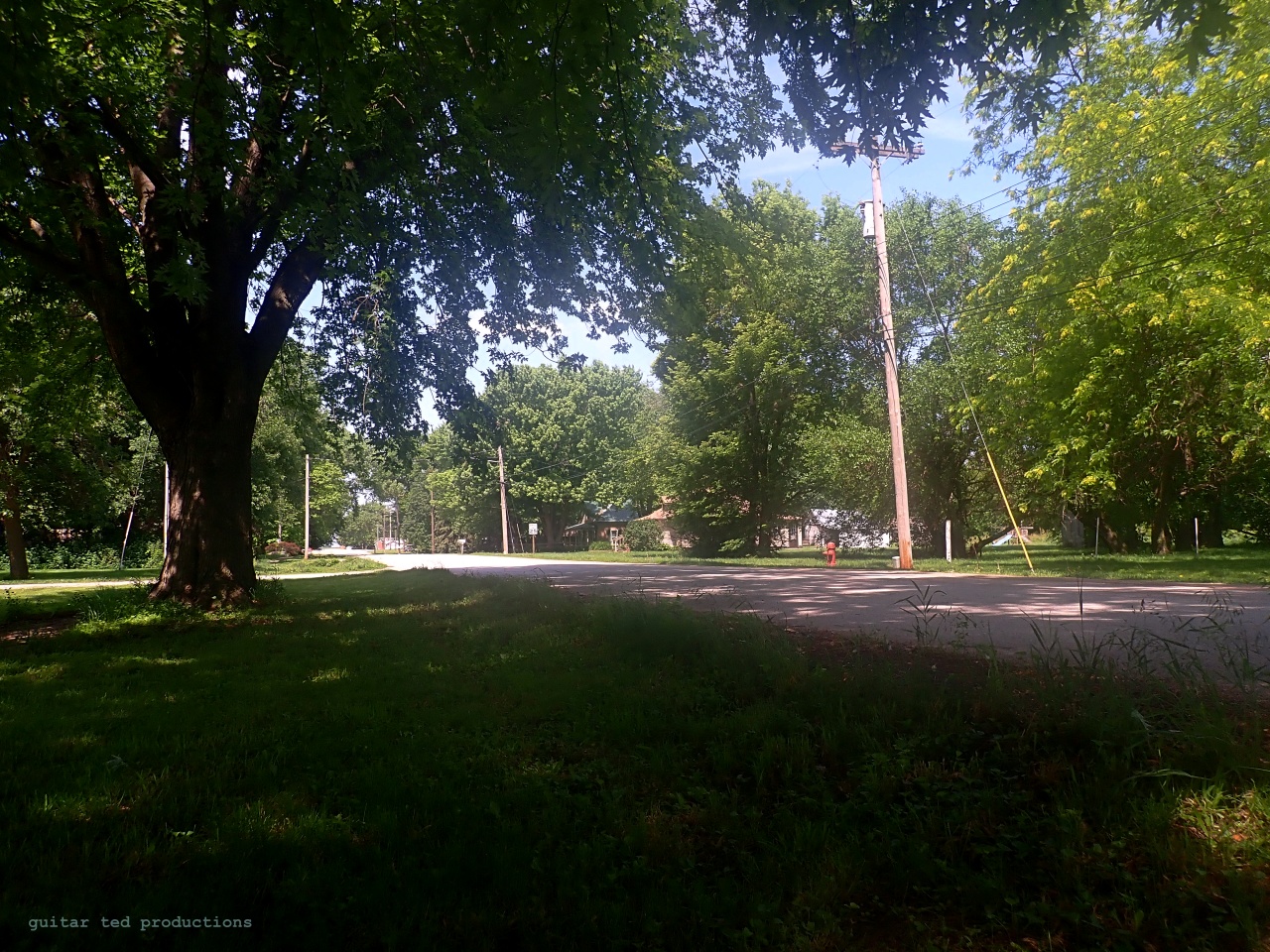
The day was clearing and warming up as I rolled on toward Checkpoint #1 in a little town called Garland, Nebraska. This is one of my favorite reasons for riding gravel events. The way the event directors take you by and through towns and significant sights and history that dot their backyards that I would miss otherwise. I mean,
who drives to Garland, Nebraska to see what is there? Maybe a few folks do, but I would never have thought to have gone there. So, next time you do an event, keep that in mind. You are likely seeing and sharing things that the event directors think are cool and relevant about the area you are riding through. (If they are anything like me, in regards to routing. I'm betting most are.)
So, I rolled on into Garland and the checkpoint was set up in the downtown area of the village. A guy was barking out rider numbers and some other volunteers were handing out pipe cleaners which were to be used as "proof of check point passage" markers. It made me think, because a lot of events have borrowed this form of checkpoint marking of riders and I was trying to remember where I first saw that. It was at an Odin's Revenge where, I believe, I first came across this practice. I don't know where it originated from, but Nebraska is where I first ran into it. Anyway......
There was a well stocked aid station under a tent there and I was very glad of that. I had not seen a convenience store and I was in need of water and something else to munch on while riding. I didn't see anyone I knew there, so I wasn't distracted, and I re-filled the bottles, used the Hammer Heed that was available to all riders, and grabbed a couple of packets of fig cookies.
 |
| An old, classically inspired bank in Garland, Nebraska. |
I rolled on out of Garland, but not before I stopped to take a picture of this cool old bank building. This is another thing I have noted about Kansas and Nebraska. Unlike in Iowa, where the small villages kind of let everything moulder into a deteriorated state, these tiny communities in the Plains States seem to keep up some of their more significant architectural gems and even if they are seemingly unused, they look kept up. Not sure why that is, but I saw more of this in the next town on the route too.
 |
| While the event directors wisely took out all the minimum maintenance roads, there were still some pretty rustic byways in the Solstice 100. |
During the pre-race chatter with Ashton Lambie, I picked up that there was going to be a "flattish" section from around Mile 20-something for about ten miles. Well, it obviously wasn't before Mile 24, because that was what I had ridden to CP#1. However; there was a short section after Garland and before the next town out that was flatter and it was good to have a break from the hills. Of course, that flat section didn't last. The hills kicked back in and the Sun was riding high in a clear blue sky. Now it was hot and
humid. Something I hadn't experienced in Iowa yet this year. By the time I got to Dwight, Nebraska, I was hoping to hammer out to the 50 mile mark and then take the next break. But when I rolled through Dwight, I saw a big cottonwood tree and the shade was too inviting not to take advantage of right then and there.
 |
| Another example of a nice building in a super small village that has been kept up really well. |
 |
| The view from under the nice, shady tree in Dwight I sat under. |
When I sat down, I happened to notice that my legs looked like they had worms crawling just underneath the skin. They were twitching and moving oddly, yet I couldn't feel that. I saw this the first time years ago on one of my Death rides, so it isn't an unfamiliar site. Anyway, I made the decision not to go on until I noticed that phenomenon was gone. That took about 15 minutes, and I was up and off into the blazing Sun again.
 |
| It was one after another on the Northern side of the route. |
|
So, as I was out rolling up one long, steep grade after another, I was trying to figure out where I was on the loop of the course. I knew that soon I was to be coming back down Southward toward Malcom. I figured it had to be around the 50-ish mile mark based upon the knowledge that the next checkpoint was after Mile 60 and was on the route back to the start. So, I was thinking I may have to take several breaks, but perhaps I could piecemeal this thing into a finish. I knew it wasn't going to be pretty, since I was at the ends of my rope in terms of fitness.
Of course, that was predicated upon having
everything go right besides that part. Mentally I was fighting between stopping and carrying on. Nutritionally I was okay, but I was going to need a resupply. I also needed to have the bike to continue to work well, and I needed to keep navigating well. There was a town on the route I was supposed to be coming through, so I was hopeful that would provide the re-supply.
I did stop and take a short "ditch nap". I probably would have slept longer had it not been for the biting black flies. Dang sleep interrupters! So, I decided I wasn't getting any further sitting there and took off again for the next long climb. Interestingly, I hadn't seen another rider since I sat under the tree in Dwight. No one had passed by as I sat in the ditch for about 15 minutes. One good thing: The clouds gathered again and it was cooler when I started again. I felt reinvigorated, at least for the time being.
I reached a "T" intersection right on cue with my mileage, but instead of "Road 25", I was pretty sure the sign said "Rd 27". One small note about Nebraska rural road signs. If the name of the road is short, so is the sign, and their font is about 3/4's the size of what Iowa uses. Add in nearly 60 year old eyes and well...... I wasn't sure I read that right, even after two double takes. Hmm.... Concerned, but the mileage was right and the direction for the turn was there, so I took it. The next cue was in another mile. When I arrived there,
nothing made any sense. None of the road signs matched anything I had on my cues. Only the mileage was correct. I pulled up my mapping program on my phone, but it did not show a "Rd 25" at all in the vicinity.
Bah! Lost in Nebraska!
 |
| The only way that made any sense at the time. A pea gravel bike path to somewhere...... |
Now something was way off, and I wasn't game for finding the route again. Besides, if I was going to continue, I knew I was running low on water and I was going to need more to eat. Especially if I was going to go scrambling around those hills trying to get back on course. So, that didn't make much sense. I saw a pea gravel bike path which also terminated at this spot. There was no signage, and my maps program did not show any bike trails in the area. Only gravel roads and small villages. This thing looked like it headed in the general direction I needed to go to get back to Malcom. That was it. This path was sure to take me to a town with water, at least, and hopefully food. I was off route and done with the Solstice 100 at that point. But I still had adventure to enjoy.
Next: Part 3 of the Solstice 100 Report.


5 comments:
First off, I'd like to apologize for getting you lost out there. As the cue sheet maker I really like to know where you were when you encountered the questionable turn. From your description it sounds like you were somewhere around mile 40-46 and near Loma, lots of road 25 and 26 turns up that way but shouldn't have gotten to a rd 27 on course until mile 70 something after Valparaiso. Anyway, if you can email me the spot where things went wrong I'd love to figure it out with you, always looking to get feed back to improve upon things for next year.
Secondly, Garland is rife with interesting history. Originally name Germantown because of it's heavy German population, it changed to Garland in 1918 due to anti German sentiments in the US because of WWI. The town changed it's name to Garland in 1918 in memory of Raymond Garland who was the first "Germantown" casualty in WWI; ironically he died of Typhoid in France and not during combat. The bank as it stands today was completed in 1919 at a cost of about $28,000 and remained opened until sometime around 1936 when it failed to do the locust plagues of the late 1920s that bankrupt many of the farmers in the area. I'm not sure what was in the bank after that but it was bought by a local resident for $4,600 at auction in 1978 and was entered into the national register in 1987. The purchaser tried to find all the missing items from the bank and get them back but many were melted down for their metal value. He later sold it to a California couple and then after their deaths it was donated to the village of Garland.Once the village got ownership a real push was made to restore the bank as best they could, Ted Kooser (a published Nebraska Poet) even was involved in trying to raise fund for the restoration project. No idea what is in there now but I do know that they restoration is still in progress albeit at a fairly slow pace but it is a cool old building worth saving.
@Rydn9ers- Well, let's get this straight- It wasn't your fault I got lost. That was on me. But I do completely get why you feel responsible and why you want to see what fouled me up. So, while your apology is accepted, it isn't necessary, really. I mean, it ain't like I don't know how a cue sheet works and how these events go sometimes for riders. Been there- Done that! I accept complete responsibility for my actions.
So, as near as I can tell I went left when I should have gone right? Maybe.,.Because where I was I had to make a Left on Rd. U at Mile 48.5. Then the next turn was supposed to be Rd. 25, but that's where I noticed the sign said "Rd 27". This is where I turned right and the next cue, "Right On Rd T" didn't make any sense because I didn't see a sign saying anything of the sort. Or if I did, my mind didn't compute, but for whatever reason, I figured I was waaaay off track at that point. That's where I found the rail trail at that intersection.
I don't have a detailed map of the area, otherwise I might be able to help out better with this. Hope that helps you in some way, but really- it was my own fault.
Thanks!
@Rydn9ers- Oh! And a BIG THANK YOU for doing the cues and the event at large. Also- the history shared is awesome. I love the historical background on these little towns and villages. I think it helps one to appreciate the culture and the land a little bit better.
I believe culture has become so "event" oriented that we lose the fact that we are visitors in the home of others. The rich history of small towns, towns that once existed, cemeteries, abandoned churches, etc. helps me appreciate that I'm not that important nor is placing at the finish. I want to gain awareness of who and what came before so I can live more respectfully today.
Well if you're going to get "lost" in Nebraska, there are worse places than Loma.
Post a Comment