
 |
| Escape Route: LaPorte City |
So, at any rate, there were a few odds and ends all emanating out of LaPorte City. I made a plan to mop up these roads, loaded up the truck, and headed out to LaPorte City where I was able to embark from the lot which is there alongside the Cedar Valley Nature Trail. The day wasn't too chilly and the Sun ended up coming out during the ride. However; the wind was up and not friendly. Fortunately I didn't have to be out too long to bag the odds and ends I needed to get down there.
I wore a base layer, Pirate Cycling League jersey, and a Bontrager soft shell jacket. That all over a GORE bib short, and Bontrager commuter pants. I wore some Alpaca wool long socks and my Northwave Winter boots. On my noggin I used a Minus 31 wool beanie and my trusty Bontrager helmet. Gloves were a pair of liner gloves in wool. (Note- My hands stay pretty warm so I don't need much) It was about the mid-30's and the winds were something in the 20's or so.
 |
| Barns for Jason #1: I left town on Bishop Drive |
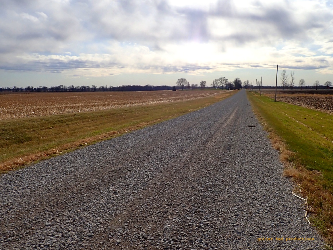 |
| Shepard Road. This was about the width of a nice drive way. |
Some of the gravel on this mop-up mission was pretty narrow. I was surprised by that and also how most everything was covered recently in fresh, chunky gravel. Probably post-harvest work the county has done to get ready for Winter.
 |
| Shepard Road just peters out into a field with no barriers or warning signs. |
 | |
| Barns for Jason #2: Looking back down Shepard Road. | |
The first road to knock off the list was a little thing called Shepard Road. This was a bit of gravel that had two farms on it, one on the West side and one on the East side and was about half a mile long. It was really kind of narrow and completely covered with chunky, fresh gravel. Coming back North was easy, since I had a tailwind.
This out-and-back led me back to pavement and I went further East on Bishop Road, which was paved, to reach the next bit of gravel to get bagged. All this pavement reminded me of my old road riding days! At least I had 700 X 40mm WTB Byway tires on so that pavement wasn't too bad.
 |
| Looking South down King Road. |
 |
| Main Street- Yes! Really. (Eventually it takes you to LaPorte City to the West) Looking East here. |
Once I reached the "T" intersection I took a right to bag a mile of King Road. Such a regal name for such a mundane bit of gravel, that's for sure! Anyway, it's pretty flat, as you can probably tell from my images here. That's because this is all in pretty close proximity to the Cedar River and so all of what I rode was in the flood plain area.
Then I had a short out-and-back to the county line to bag that end of Main Street. Yes....Main Street. Of course, this gravel was an extension of LaPorte City's Main Street to the East until that road passed out of Black Hawk County. This point in the ride was the furthest Southeast you can get in Black Hawk County West/South of the Cedar River.
 |
| The Cedar River Wildlife Area marks the point where I turned around and went back West. |
 |
| Main Street turns to pavement here. This was one of only three bits of gravel which sits on the Southern border of the county. Oh....and Barns for Jason #3! |
When I ran off gravel and on to pavement on Main Street that marked my first bit of gravel road bagging for "The Quest". There would be one more tiny bit to clear off which came out of LaPorte City to the South. A tiny portion of almost secret gravel it is so hidden. I'm almost betting only residents on the road and some folks in town even know these bits of gravel exist, well......besides the County, that is.

The beginnings of Poplar Avenue gravel, or....... 
.......is it really Selk Road?
Coming out of LaPorte Road to the South is a strange bit of gravel in a "U" shape. It starts out as Poplar Avenue and is signed as such coming out of LaPorte. The DOT maps have a different name here though. The DOT says this bit going South, a quarter mile maybe, and the next bit, another quarter mile to the West, is all "Selk Road". This "T"'s out into South Road to the North and the Southern bit from that intersection is in Benton County. One could be forgiven if they thought the Eastern bit coming out of town to the South was Poplar and only the East/West road was Selk Road. It's all soooo confusing!
However it is really, this bit of Selk Road, a quarter mile, is only the third bit of road on the Southern border of Black Hawk County. Between Selk Road, Main Street, and Paydon/Payden Road, (The road name is spelled differently in Benton County vs Black Hawk) there is only two and a half miles of road right on Black Hawk County's Southern border and all of it is gravel.
 |
| South Road looking back toward LaPorte City. |
All of this is narrow road as well. Some of the best maintained narrow gravel road I've seen. I imagine it is the exact width that the original roads were laid out with, using this measure for every gridded out road in accordance with the Northwest Territories Act, which dated back to the 18th Century. Those laws were the template for expansion to the West and territorial governments and early State governments eventually imposed this grid after a time.
I know from reading a text loaned to me by my friend Tony, which covered the history of trails and roads in Black Hawk County, that the grid wasn't always the way things were around here. There were Native American trails here long before gravel was a thing. Sometimes the roads hint at these early trails as, most of the time, early White settlers ended up using the same ways. You see this in the angle of Main Street, which probably was informed by an early trail following the Red Cedar River back in the early days. That trail eventually became a main pioneer road way, then it was the Red Ball Route, and eventually Highway 218.
Anyway, back to the matter at hand. "The Quest" is coming to a close soon. I have a bit to cover in the Northwestern corner of Black Hawk County and some oddments here and there near the East side of Waterloo and near LaPorte City to the Northwest. I'm getting close. If I am fortunate I think I have three more rides to get it all mopped up.
Stay tuned.....
4 comments:
Do you keep track of what you've done so far digitally or is there a map somewhere at HQ with lots of red lines?
@Phillip Cowan - Short answer: I keep track mentally. I can look at the map and see in my mind the rides I've done. But that is a great question. I think you've prompted another blog post. ;>)
Thanks, Mark for the reflections on the history of what you ride through or on. We ride through history.
@fasteddy - Thank you. I feel it is important to reflect on the historical aspects of our areas we live in. We can learn a lot from it that can help us to be better in the future if we let history into our stories. That's my belief, at any rate.
Post a Comment