 |
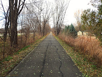
Escape Route: Sergeant Rd Bike Trail.
|
This time of year you kind of have to grab the bull by the horns and ride whenever you can. The weather can be fickle, and what counts for a 'nice day' in November wouldn't pass for a good day in October. Lowering expectations for comfort is also a good idea. It is going to be cold, windy, and the Sun won't give much relief,
if you are lucky enough to have it shine on you. So when they say it is going to be 50°F and the winds are going to be under 25mph? You grab your bike and go, because that is a rare day in November. So, Saturday was 'that day' this weekend and I went on a ride to a bit different area than I typically do.
This ride would be on the new WTB Vulpine tires which are on my Twin Six Standard Rando v2 right now, so single speed it was! (Standard Disclaimer regarding the tires here) The route plan was something I came up with only just before I rode. This time I would be visiting Western Black Hawk County.
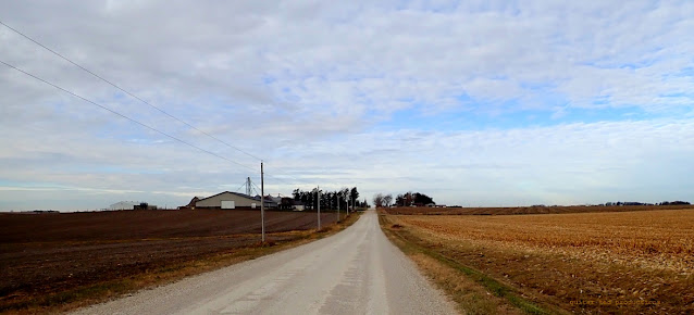 |
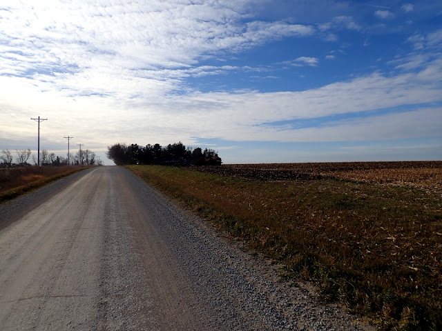
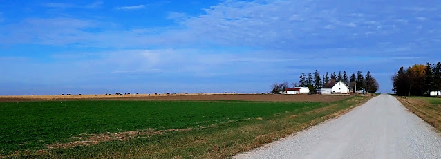
Different shades of "Brown Season". Here looking West on Ranchero Road.
|
 |
Ain't no "Musak" on this elevator!
|
I headed out of town via the ol' Sergeant Road bicycle trail, but instead of bailing off on Shaulis Road to the East, I turned right at Ranchero Road and kept going until it turned to gravel. This is a steadily climbing route, by the way. I didn't really notice that before when going out this way, but then again, I don't often go out this way!
 |
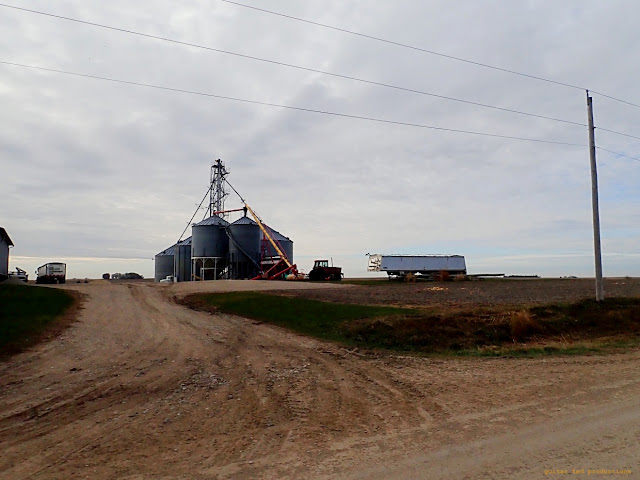
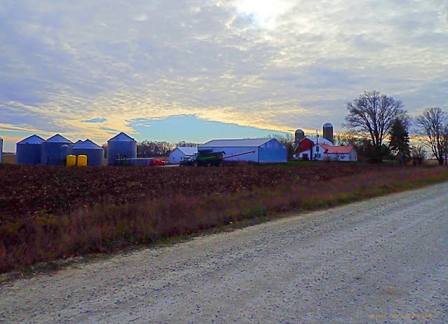
| Time to put the tractors and wagons away for the year. |
|
 |
A combine sits idle behind a machine shed.
|
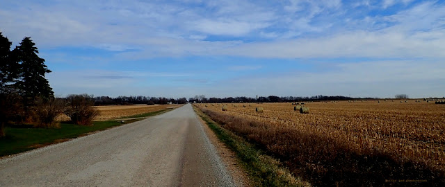
Once I got out a ways on Ranchero, I headed South on Union Road, stair-stepped over to Platt Road, and then a mile over on Watters Road to Grundy Road, which is the county line. This also worked well to keep me out of a headwind for miles as the wind, which was mostly out of the West, wasn't just a breeze!
 |
Looking West down Shaulis Road
|
 |
Platt Road South. Notice the cracks in the road from it being so dry.
|
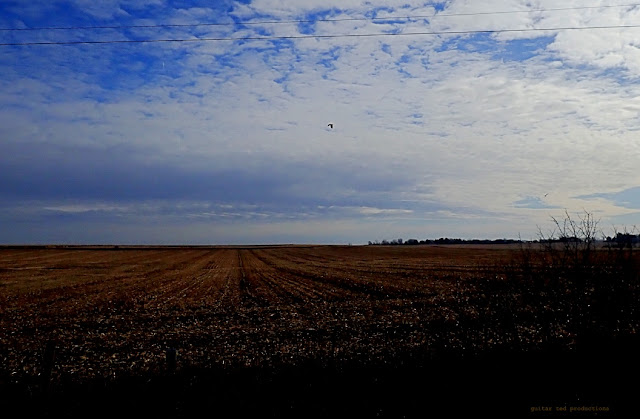
I noted that despite the heavy rains we had a bit ago, the ground and especially the roads, are very dry. Cars and trucks passing me by were kicking up pretty big 'dust contrails' which would get pushed off the roadway, thankfully, by the stiff breeze. It's pretty amazing we had a decent crop this year considering how consistently dry it was for most of the growing season.
 |
A red tailed hawk soars over a field of corn stubble.
|
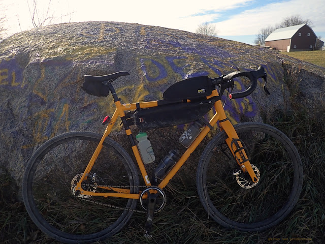 |
There is more than one 'big rock' in Black Hawk County. This one sits along Watters Road.
|
Eventually I got South far enough I was in more familiar territory and I found myself near Hanson's Dairy Farm. They are a local purveyor of milk products and other wholesome foods. But what a lot of folks don't know is that they also have kangaroos. I know...... Weird.
 |
Looking Northeast on Eldora Road.
|
 |
Cattle on a hill off Holmes Road.
|
I eventually worked my way East and North enough that I got to Petrie Road's Level B section. I always half expect this road to be gated when I go to ride it anymore. The local farmers who are adjacent to Petrie Road on its West end have done everything they can do to disguise this road's entrance. They took down the 911 signage (street sign) not long after Trans Iowa v12 and they continue to make the entrance narrower and less obvious as the years go by. Only the East end of the Level B section is signed. I suppose if someone really wanted to be a thorn in someone's side they could go get stuck and then sue the county for a lack of signage there and then see what happens. Either way, I suspect this will end up a gated Level C Road any time now.
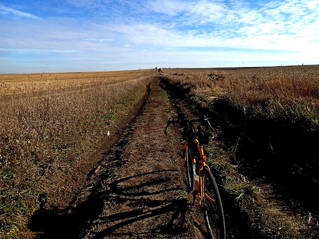 |
Near the West end of Petrie Road.
|
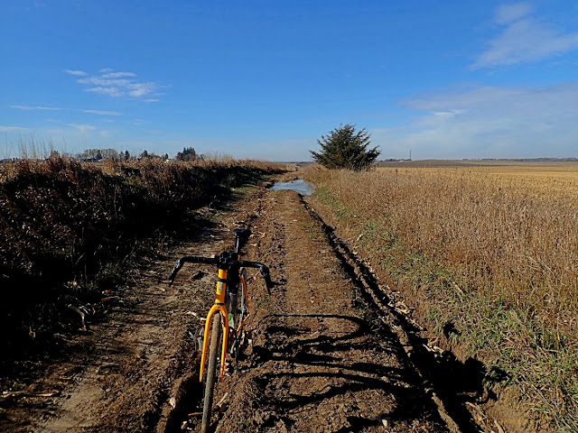 |
That mud puddle back there has a thin sheet of ice over it.
|
Oddly enough, I saw a pick-up truck peeking over the hill as I came up from the West. They must have decided not to keep coming down and the truck seemed to back up and then it disappeared from view. I never did see it again. That's the first time since T.I.v12 I've seen vehicles on this stretch of rutted out dirt.
Well, that was about the end of the ride, so I ended up back at the house with about 3 hours of riding in. This would be about half a metric century, maybe a bit more, so if we can get in some halfway decent days after Thanksgiving, my Turkey Burn ride might be a repeat of that loop plus some. We'll see. It was a good route though, and I'll definitely be back that way again.

2 comments:
Am I the only one who brings up Google Maps so I can follow along as I read your ride reports?! Lol...looks like a good day out on the bike!
@FarleyBob - You know, I am not sure but I feel like several folks do this when I report on rides around here.
I didn't even consider this as a thing until one of you readers mentioned it in the comments, I think it was last year when I was doing "The Quest". But since then I've been conscious of this aspect of how my readership follows the blog.
Post a Comment